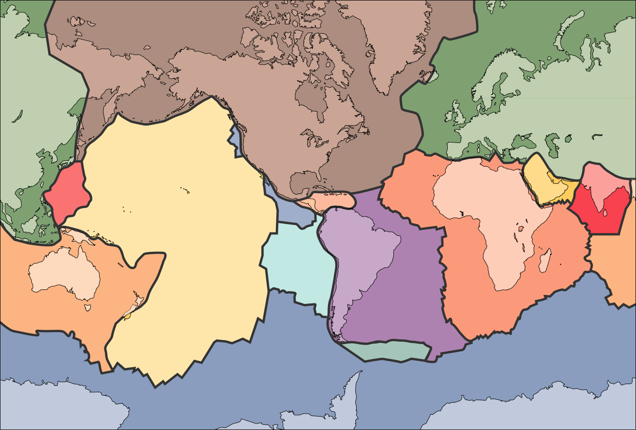
চিত্র:Tectonic plates (empty).svg
পরিভ্রমণে চলুন
অনুসন্ধানে চলুন

এই SVG ফাইলের জন্য এই PNG প্রাকদর্শনের আকার: ৬৮১ × ৪৬১ পিক্সেল। অন্যান্য আকারসমূহ: ৩২০ × ২১৭ পিক্সেল | ৬৪০ × ৪৩৩ পিক্সেল | ১,০২৪ × ৬৯৩ পিক্সেল | ১,২৮০ × ৮৬৬ পিক্সেল | ২,৫৬০ × ১,৭৩৩ পিক্সেল।
মূল ফাইল (এসভিজি ফাইল, সাধারণত ৬৮১ × ৪৬১ পিক্সেল, ফাইলের আকার: ৩৫৬ কিলোবাইট)
সারাংশ
| বিবরণ | |
| তারিখ | ১০ সেপ্টেম্বর ২০০৫ (আপলোডের তারিখ) |
| উৎস | File:Tectonic plates (empty).png |
| লেখক | Ævar Arnfjörð Bjarmason |
| অন্যান্য সংস্করণ |
এই ফাইলটি যেখান থেকে নেওয়া হয়েছে : Tectonic plates (empty).png:
[]
|
| SVG genesis |


.png)


.svg)
.png)
লাইসেন্স প্রদান
This image is in the public domain in the United States because it only contains materials that originally came from the United States Geological Survey, an agency of the United States Department of the Interior. For more information, see the official USGS copyright policy.
|
ফাইলের ইতিহাস
যেকোনো তারিখ/সময়ে ক্লিক করে দেখুন ফাইলটি তখন কী অবস্থায় ছিল।
| তারিখ/সময় | সংক্ষেপচিত্র | মাত্রা | ব্যবহারকারী | মন্তব্য | |
|---|---|---|---|---|---|
| বর্তমান | ২৩:৩২, ২৯ আগস্ট ২০২৪ | | ৬৮১ × ৪৬১ (৩৫৬ কিলোবাইট) | wikimediacommons>RXFADEZ | restored Hispaniola to be a single island |
ফাইলের ব্যবহার
নিম্নলিখিত পাতাটি এই ফাইল ব্যবহার করে:
.svg)